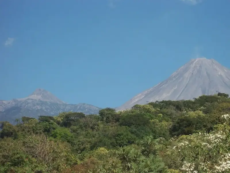
Parque Nacional Nevado de Colima
Protected natural area of 9,375 hectares, decreed in 1936, that safeguards the Nevado de Colima and the Volcán de Fuego, with pine, oak and fir forests. About 89% lies in Jalisco and only around 11% belongs to Comala and Cuauhtémoc, in Colima. It is a destination for hiking, mountain biking and official campsites; the access most used by visitors is through Ciudad Guzmán, Jalisco.
Services
- Camping
- Hiking
- Cycling
Location
Parque Nacional Volcán Nevado de Colima
El acceso habitual para visitantes es por Jalisco: desde Ciudad Guzmán por el camino a La Mesa y El Fresnito rumbo a La Joya. Desde la ciudad de Colima hay que llegar primero a Ciudad Guzmán por la carretera federal 54.
OpenStreetMap map, loaded only when you ask for it.
Distances
Parque Nacional Nevado de Colima is in the municipality of Comala, about 35 km as the crow flies from Jardín Libertad, in the center of the city of Colima.
What to bring
To hike comfortably and safely on trails and mountains.
- Inflatable camping bed Spares you from sleeping on hard ground.
- Folding trekking poles They spare your knees on descents and slopes.
- Sleeping bag For the cool mountain nights.
To go further
- GPS sports watch So you don't get lost · Records the route so you don't get lost.
Some links are Mercado Libre affiliate links: if you buy through them, Colima Go may earn a commission at no extra cost to you. The store is in Spanish.
What is nearby
These places in the guide are close to Parque Nacional Nevado de Colima, with their approximate straight-line distance, so you can plan a fuller outing:
- Volcán de Colima (Volcán de Fuego) Mountains · 2.9 km
- Laguna La Maria Lakes · 13 km
- Carrizalillo Lakes · 15 km
- Museo de la Caña y del Azúcar (Quesería) Heritage · 17 km
- Tianguis gastronómico y artesanal de Suchitlán (Semana Santa) Tianguis · 21 km
More in Comala
The famous White Town of America, with cobblestone streets, white houses, and red-tiled roofs, is a picturesque place full of history, traditions, and a peaceful atmosphere at the foot of the impressive Fire Volcano.
The guide has 22 places in Comala. Explore the municipality of Comala.
More from this category in other municipalities: Reserva de la Biosfera Sierra de Manantlán (lado de Colima), Piedra de Juluapan, El Terrero. See all: Mountains.
How it is right now
Loading
Reviews
Loading
Ask a local
Loading